
Wasco Neighbor Sources Around One Block
The useful Wasco neighbor sources are layered. Kern GIS supplies parcel geometry and map context. The assessor address browse supplies up to 100 street matches without online owner names. The Recorder connects known parties to deeds, liens, and maps. Wasco permits and code maps add public project markers. Council district maps show civic geography. A voter file requires a permitted use and is not a casual block list.
| Source | What It Shows About a Block | Access |
|---|---|---|
| Kern GIS | Adjacent parcel geometry, APNs, land and map context | Free interactive map; not survey-grade |
| Assessor address browse | Street matches, values, use, and parcel-map links | Free with CAPTCHA; up to 100; names suppressed |
| Kern Recorder | Deeds, liens, and maps tied to known parties or kiosk APN | Free index; copies paid |
| Wasco permits and code map | Address work, case markers, and public project context | Map or focused city request |
| Council district map | Civic district covering the block | City map; not a resident roster |
| Voter file | Eligible registration fields for permitted purposes | Restricted statutory use |
These sources can show neighboring land units and official activity. They cannot show every person who lives there. A same mailing and situs address may suggest owner occupancy, but a trust, corporation, representative, or separate mailing location can change the meaning.
Note: A block map shows adjacent land units and public activity, not a complete list of households.
Map a Wasco Block from One Address
Use a seed address to build a visual block record. The goal is to identify the parcels that touch the subject parcel, preserve their APNs and map context, and then choose the right office for any name or project question. The map is a geography tool, not a person-finding result.
- Enter the seed address in Wasco MyGov or Kern GIS and select the matching location.
- Zoom until parcel boundaries, roads, canals, rail lines, and legal-lot shapes can be distinguished.
- Record the seed Property ID or APN, then click the polygons immediately north, south, east, and west.
- Compare each parcel’s map context and public project marker without calling every adjacent parcel a household.
- Use the Recorder, City Clerk, or permitted Elections route only when a defined record question remains.
The flow is simple: address -> parcel -> adjoining geometry -> named custodian. For a full named-street chain, move to the Wasco street directory page instead of repeating a block map as a whole-street search.
Note: “Adjacent” means touching or nearby on the map here, not a fixed-distance or person-based result.
Wasco MyGov’s Visual Adjacency
The Wasco MyGov GIS module has a global “Search for an address” autocomplete and structured Search By choices of Address or Property ID. A structured search returns at most the first 20 records. After selecting a result, use Layers, Extents, Find Me, Zoom, Measure, Draw New Line, Draw New Polygon, Hide Segments, Delete All, Previous, Next, and Print as needed.
Measure supports feet, inches, meters, miles, and yards. Drawing tools can mark a block for notes, but the research found no official radius or buffer control. “Adjacent” here means visibly touching or immediately near a selected parcel, not a fixed-distance resident search. Click the feature and preserve the place or activity information shown by the map.
| Search By | Address or Property ID |
|---|---|
| Result limit | First 20 records for the structured search |
| Measure units | Feet, inches, meters, miles, and yards |
| Draw tools | Line or polygon marking, not a legal boundary |
| Preserves the map view; no verified CSV export |
Note: MyGov’s drawing tools preserve a research outline, but they do not create a legal survey or official neighborhood boundary.
Wasco City Maps Add Civic Context
Wasco’s council district maps add a public civic layer around a block. Five City Council districts were transitioned in 2017, maps were selected and finalized in 2018, and a map was updated in 2022. A district tells you which civic geography covers the parcel. It does not list the residents in that geography and should not be described as a neighborhood association.
The map can help connect a street question to council proceedings, planning meetings, or public notices. Preserve the map version and date because district lines are not permanent. Use the City Clerk or Planning office for records tied to a district, address, or meeting.
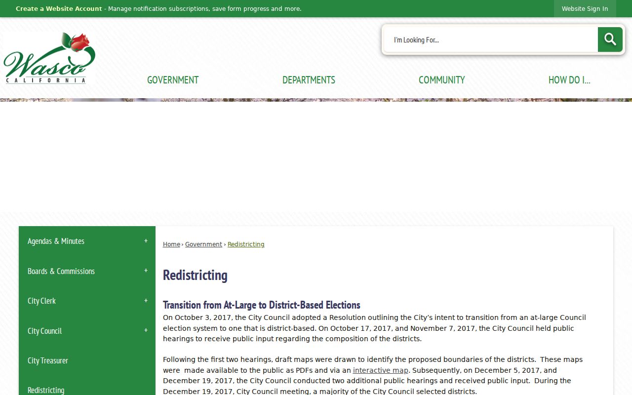
The district-map capture shows civic geography around Wasco blocks. It is useful context, but it is not a neighbor roster.
Wasco Parcel Neighbors in Kern GIS
Kern County GIS includes parcel and mineral polygons, map-book areas, tax-rate areas, parcel numbers, use codes, roads, railroads, canals, section lines and corners, easements, and legal lots. Turn on the layers that explain the seed address, then compare touching parcels. A hardcopy assessor map remains official, and the interactive viewer’s positional accuracy is not guaranteed.
Owner or assessee data may exist in county systems, but public internet display restrictions govern what appears online. The full GIS data route is a paid request, listed in the research as $220 per edition from Mapping at 1115 Truxtun Avenue, phone 661-868-3378. Do not assume a map click exposes the name of every parcel owner.
Record the APN and legal lot for each adjacent parcel. If a name is needed, take the identifier to the lawful office route. A map relationship is evidence of adjacency, not evidence that the adjacent person is a current neighbor in the household sense.
Wasco’s 100-Result Street Batches
The Kern assessor can browse a street by partial address, but only the first 100 matches display. Prefix behavior can mix similarly named streets, so add a number or longer spelling before treating the results as one block. The search accepts address, APN, or ATN and omits city and ZIP.
The result is ownership-neutral online. It can supply parcel facts, value and use context, a copy link, and a parcel-map link, but no owner name. Use a street batch to find the parcel set, then use GIS to determine which lots actually touch. This is the practical insider step that keeps a Wasco neighbor lookup from confusing a search result list with a neighborhood.
For a whole street’s grantor-grantee chain, use the Recorder modes and the street directory workflow. For a small block, stay with the map and defined record request.
Wasco Community Records Are Not Rosters
The research found no verified citywide neighborhood-association umbrella or public HOA/member directory for Wasco. Five council districts are documented civic geography, not associations. Public substitutes include City Council and Planning Commission records, school yearbooks, Chamber business membership, Historical Society participation, and public community notices. None should be described as a list of neighborhood households.
- Council district: public civic geography and meeting context, not names of residents on a block.
- Planning or Council record: public speakers, applicants, agenda items, or decisions, not everyone affected by an address.
- School yearbook: students, faculty, clubs, and class groups at a time, not current residence or family relationship.
- Historical Society: donated local files, photographs, and captions when held, not a complete catalog or member roster.
- Business directory: organizational contacts and public business locations, not household membership or private contact data.
Ask the City Clerk or Historical Society for a narrowly described public item. Do not ask an office to conduct an open-ended biography of the people near an address.
Note: Wasco’s documented civic layers provide context, while the research found no verified public association roster.
Wasco Permits Mark Nearby Activity
Wasco Community Development at 764 E Street, phone 661-758-7200, with a planning and building line at 661-758-7250, handles building inspection, planning, and code compliance. The city’s interactive maps can show public building or code markers, and a focused request can ask for a permit card, inspection history, certificate of occupancy, planning approval, or code-case log by address or parcel.
A permit applicant, owner-builder, contractor, or project contact is tied to the public project record. That role does not establish that the person lives at the parcel or that the project involved every nearby household. Use dates and project descriptions as neighborhood context, not as a people roster.
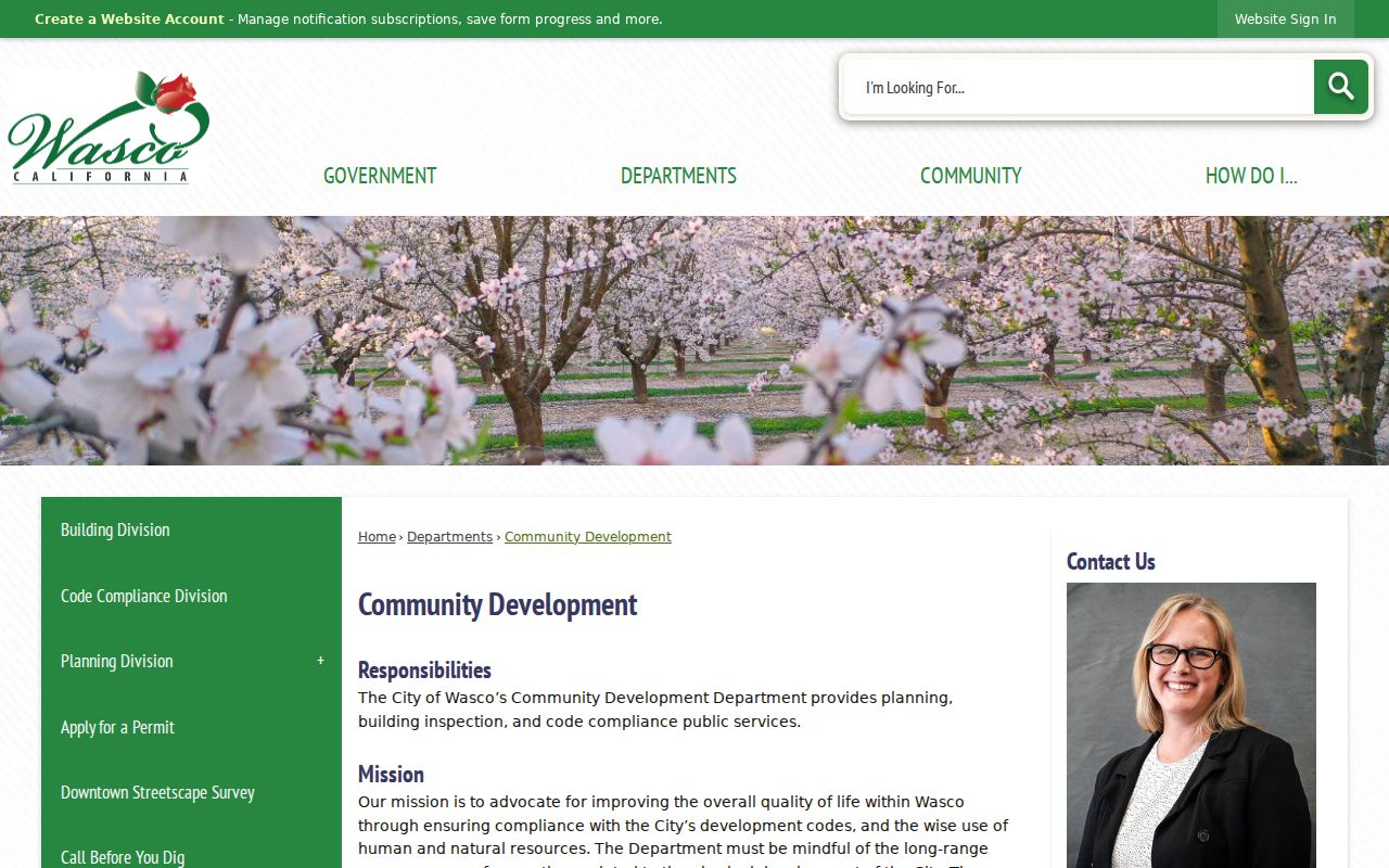
The Community Development capture shows the city office responsible for planning and building records that can add an address-specific layer to a Wasco neighbor lookup.
Official Rolls and Compiled Neighbor Leads
Compiled commercial neighbor tools may merge public and licensed data, lag behind corrections, charge fees, and offer opt-outs. They are not an official parcel, voter, deed, court, city, or utility record. Official sources can also be incomplete, but they identify the custodian and the date of the underlying fact.
| Source type | Useful for | Limit |
|---|---|---|
| GIS and assessor | Adjacent parcels, APNs, situs, map context | Owner names suppressed online; not household proof |
| Recorder | Recorded parties, deeds, liens, and maps | Address is not the primary key; copies and access rules apply |
| City map or request | Permits, code markers, district and project context | Personal fields may be withheld |
| Compiled lead | Prompt for a name or old address to verify | Merge logic and source dates can be unclear |
Use any compiled lead only to return to a named official custodian. Keep the final neighbor record tied to the map, document, case, or city file that actually supports it.
Privacy Limits for Wasco Neighbors
Parcel adjacency identifies land units, not all people who live there. The assessment roll does not list every non-owner occupant. Voter records are restricted and do not include every person at an address. Safe at Home protects qualifying participants through a substitute address. DMV, utility, delivery, and private association data are not an unrestricted neighborhood directory.
Even a named deed party may be a trust, corporation, estate, representative, or absentee owner. A mailing address can differ from the situs. A same-name court or license record can belong to another person. Preserve the map date and document identifier, and ask the custodian to correct a wrong record.
A useful block note records the seed address, APNs touched, map date, visible civic layer, and the exact office that can answer the next question. It does not copy names into a private roster.
Lawful use. Wasco neighbor lookups are for personal, lawful research, reconnecting, civic understanding, and safety awareness. Do not use them to watch, stalk, harass, intimidate, or harm anyone.