
Find a Wasco Street by Address
The strongest Wasco street directory workflow moves from a street number to a parcel, from a parcel to a legal description, and from that description to a recorded document. It does not begin by guessing a household. Kern’s assessor search is the street-first gate. Its result can supply the APN, ATN, situs, map link, use, and assessment context. The online owner field is intentionally absent, so the next step belongs to the recorder, the city, or a lawful request channel.
Carry the exact address and every identifier forward. A partial street search can be helpful for a segment, but prefix matching can produce similarly named streets. Narrow the query before recording a parcel. Then check the map and the legal lot before looking for names.
- Enter the street number and street name in the Kern Assessor Property Search, leaving out the street type, city, and ZIP.
- Record the APN, ATN, situs, parcel-map link, use, and value fields, and note the date of access.
- Open the parcel map and compare the lot with roads, railroads, canals, easements, and adjoining legal lots in Kern GIS.
- Use the APN at a Recorder kiosk, or use a known party in the grantor-grantee index when the deed chain is the goal.
- Add Wasco permit, inspection, code, or planning records by address, then compare any historical reverse-directory entry.
This order keeps the Wasco street directory useful even when the public web result hides the owner name. The parcel is the stable bridge between systems.
Note: The strongest street lead carries the same address through parcel, map, document, and historical listing before naming a person.
Wasco Street Records at a Glance
Different address-keyed sources answer different questions. The assessor describes the tax parcel. GIS shows spatial relationships. The recorder ties documents to parties and legal descriptions. City files date work or code activity. A voter file is not a casual street tool, and a historical reverse directory identifies a listed subscriber rather than every occupant.
| Record set | Address clue | Keeper | Access path |
|---|---|---|---|
| Assessor property search | Address, APN, ATN, situs | Kern Assessor | Free web search; first 100 prefix matches |
| Parcel and map data | APN, map book, legal lot, adjoining geometry | Kern Mapping and GIS | Interactive viewer; hardcopy maps remain official |
| Recorded documents | Legal description, party, document and map number | Kern Recorder | Party/document/date/class/map index; kiosk APN |
| Permits and code cases | Address, project, inspection, case marker | Wasco Community Development | Interactive map or focused request |
| Reverse directories | Street and house number in historic volume | Library or historical collection | In person; exact Wasco runs need confirmation |
The street directory is most reliable when the same address appears in more than one source. A permit may show a project participant. A deed shows a recorded interest. A reverse listing shows a subscriber at a date. Those are related clues, not interchangeable proof.
Wasco Assessor Street Search Rules
The Kern Assessor Property Search accepts one of three main keys. APN means assessor parcel number and uses eight or nine digits, with dashes optional. ATN means assessor tax number and uses ten or eleven digits, also with optional dashes. Address accepts a partial or full street number and name. The public result suppresses owner names, so this is a parcel and geography search rather than a people list.
| Field label | Type | Required | Format and result |
|---|---|---|---|
| APN | Text | One search key | 8 or 9 digits; dashes optional |
| ATN | Text | One search key | 10 or 11 digits; dashes optional |
| Address | Text | One search key | Omit type, city, and ZIP; prefix match |
| CAPTCHA | Image/text | Yes | Enter displayed characters or generate a new image |
Prefix search has a practical trap. A query such as HEATH can bring back HEATH ROAD and HEATHER VALLEY DRIVE. Only the first 100 matches display. Start broad enough to find a street, then add the number or a longer spelling. Save the parcel map link before moving on.
- APN
- A tax parcel identifier that can change after a split or merger.
- ATN
- The assessor tax-account identifier used for the parcel search.
- Situs address
- The physical location assigned to the parcel, not the tax-mail destination.
- Legal description
- The lot, tract, section, or metes-and-bounds wording used in recorded instruments.
Note: Prefix matching finds streets, not residents; narrow the address before treating a result batch as one block.
Wasco Parcel Maps Beyond the Search Box
Kern County GIS places a Wasco parcel within a wider geography. Its data includes parcel and mineral polygons, assessor map-book areas, tax-rate areas, parcel numbers, use codes, roads, railroads, canals, section lines and corners, easements, and legal lot lines. The viewer is useful for orientation, but positional accuracy is not guaranteed. Hardcopy assessor maps remain official.
Open the parcel map from the assessor result, then pan until the street, lot lines, and nearby corridors make sense. Record the map-book or legal-lot context when a street label is unclear. A parcel number is a tax locator, not a permanent substitute for the deed’s legal description. Final GIS editions are archived to 2004, while newer preliminary data may reflect current boundary work and anomalies.
Researchers who need a full GIS edition can use the county’s GIS data ordering page or ask Kern Mapping at 1115 Truxtun Avenue; the research lists a $220 per-edition charge and Mapping phone 661-868-3378. The paid dataset is an access route for parcel geography, not a promise of an unrestricted resident roll.
The county GIS capture shows why a Wasco street directory needs map context. Adjoining parcels can share an access lane or legal lot relationship that a plain address result does not explain.
Wasco MyGov Map Tools
The Wasco MyGov GIS map supplies a second address-centered view. Its global search accepts an address autocomplete, and the structured search can use Address or Property ID. The public map returns at most the first 20 records for a structured search. Controls include Layers, Extents, Find Me, zoom, Measure, Draw New Line, Draw New Polygon, Hide Segments, Delete All, Previous, Next, and Print.
For a block question, choose Address, select the seed result, zoom until parcel or feature polygons are clear, and record the Property ID. Click shapes that touch the seed parcel, then use Previous and Next to compare feature information. Measure and draw tools can preserve the outline of a research area, but no official radius or fixed-distance resident search is documented.
| Search for an address | Autocomplete text for a global map jump |
|---|---|
| Search By | Address or Property ID radio choice |
| Measure | Feet, inches, meters, miles, or yards |
| Draw tools | Mark a line or polygon; not a legal buffer or survey |
| Preserve the map view; no verified CSV export |
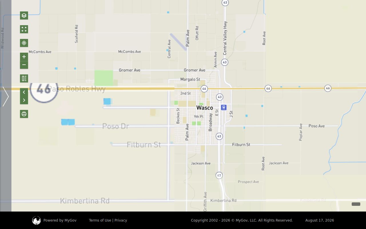
The MyGov capture provides the local map entry point. Feature history may add context, but the map should not be read as a complete resident roster.
Wasco’s 2024 APN Search Change
On December 9, 2024, Kern removed APN searching from the online Official Records index under AB 1785. Public kiosks at the Hall of Records and Recorder Annex still retain APN searching. That change reshapes the Wasco street directory: the web assessor can identify a parcel, but the Recorder’s online tool may require a known party, document number, date, class, or recorded map.
The Recorder does not maintain a single property file. A searcher who needs a deed image or copy should first collect the instrument number, recording year, at least one named party, document type, return name and address, and page count for the fee. The recorded-document copy procedure covers counter and mail requests. A no-hit search fee can be retained by statute.
Practical bridge. Address to parcel, parcel to APN and legal description, APN to kiosk or known party, then party to grantor and grantee chain.
Note: An APN search gap on the web changes the access route, not the existence of the underlying recorded instrument.
Wasco Deed Chains by Street
Street-level deed work is a translation exercise. The Recorder search modes are Grantor/Grantee, Document Number, Document Date, Document Class, and Recorded Map. The Recorder FAQ is useful for the ownership-chain and office-search boundary. Begin with a person or instrument supplied by a parcel trail. A grantor is the party conveying an interest, and a grantee receives it. Search the known grantee’s acquisition deed, write down the earlier grantor and legal description, then search that grantor as a prior grantee.
Repeat the loop while comparing the legal description and recorded map. An APN can change after a lot split, merger, or subdivision. A street number can be changed or used inconsistently in older records. The legal description and map reference help keep the chain on the right land.
Ownership is not residence. A trust, corporation, estate, escrow office, or representative can appear in a recorded document. A return or tax-mail address is not proof that the named person occupies the Wasco situs. For a one-person identity question, use the Wasco resident lookup path after the address work is complete.
Wasco Permits Mark Address History
Wasco Community Development at 764 E Street holds planning, building, inspection, and code-compliance evidence. The city’s interactive maps can point to building or code markers. A focused public-record request can ask for permit cards, inspection history, certificates of occupancy, planning approvals, or code-case logs by address or parcel. The MyGov permit application module is not confirmed as a public historical archive, so do not treat an application screen as a complete record set.
Permit categories named by Planning include accessory dwelling units, home occupation, landscape plans, pools, single-family and multifamily residences, additions, accessory structures, signs, and temporary uses. These records can connect an address to an applicant, contractor, project description, and date. A permit dates physical work or agency contact, not a transfer or continuous presence.
Wasco’s FY2025-26 adopted budget reports 729 building permits in 2024 tied to $37,305,481 in associated property-investment valuation. That number explains why an address search may have a rich city trail, but it does not turn permit activity into a residents directory.
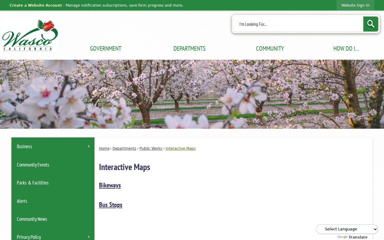
The Wasco interactive-map capture shows the city layer that complements Kern parcel geography. Use both maps when a permit, code marker, or planning boundary needs an address check.
Wasco Reverse Directories by Number
Historical reverse or criss-cross directories are the closest source to a true address-first resident listing. The verified Library of Congress inventory includes combined Bakersfield, Arvin, Delano, Edwards, Mojave, Rosamond, Shafter, Tehachapi, and Wasco volumes from 1962-1990. Beale Memorial Library also holds Kern telephone directories from 1940. Exact annual survival and publisher runs for Wasco were not verified.
Read the street section in number order, copy entries before and after the target, and record the volume title, publisher, year, page, and abbreviation key. A reverse entry identifies the listed subscriber or householder, not every adult at the address. Missing entries can reflect no phone, unlisted service, a vacancy, a new structure, or a gap in the collection. The historical shelf and reading method are treated in the Wasco city directory collections.
For early records, search Dewey and Deweyville as well as Wasco. The settlement used those names before the post office adopted Wasco in 1900, and the city did not incorporate until 1945. Old county or township headings can be as important as the street number.
Note: Reverse directories list subscribers or householders, and an absent entry can reflect an unlisted phone or a missing volume.
What Wasco Streets Cannot Show
A parcel map shows land units, not everyone who lives nearby. The Kern online assessor does not show owner names. The voter status form is not a street browser. Deeds identify parties to recorded instruments, not all occupants. City permits identify project participants, not a household roster. Utility, delivery, DMV, and protected-address data are not a casual public substitute.
California Safe at Home can shield qualifying participants through a substitute address. Voter data has statutory limits, and Megan’s Law has its own anti-harassment warnings. Treat a same-name result as a lead, preserve the source date, and ask the custodian to correct a wrong record rather than repeating it.
Lawful use. Wasco street records are for personal, lawful research, family history, civic curiosity, and safety awareness. Do not use an address trail to stalk, harass, intimidate, or harm anyone.